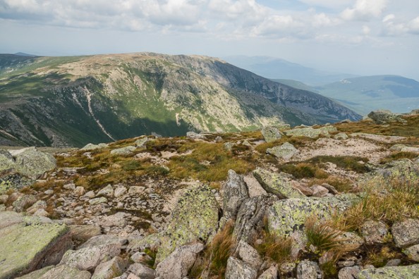
Looking toward Hamlin Peak from the Katahdin tableland. The Saddle Trail is at the left edge (center).

Looking toward Hamlin Peak from the Katahdin tableland. The Saddle Trail is at the left edge (center).
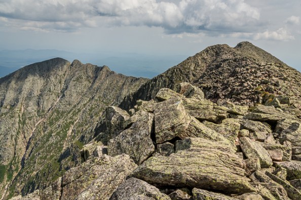
Looking back at Chimney and Pamola Peaks from the Knife Edge on Katahdin.
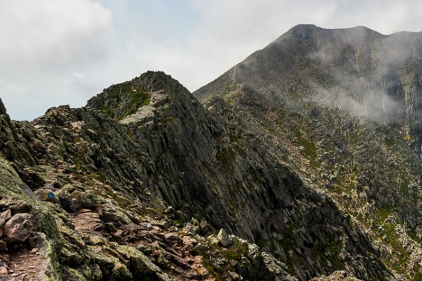
I hiked Katahdin on the day of the partial solar eclipse. I took the Helon Taylor trail to Pamola Peak, crossing the Knife Edge to Baxter Peak, down the Saddle Trail to Chimney Pond and back to Roaring Brook. Beautiful weather for hiking the Knife Edge and I arrived at Baxter Peak (the highest point in Maine) just as the eclipse was due to start. It might have gotten a bit darker but it was not really noticeable.

The peaks in Baxter State Park visible from the Debsconeag Deadwater, part of the Penobscot River corridor. I made this panorama by taking 10 individual shots in my bouncing kayak and merging them in Lightroom–an easy feat compared to what the river drivers of the past had to do to harvest timber.

Reindeer moss and a blanket of spruce
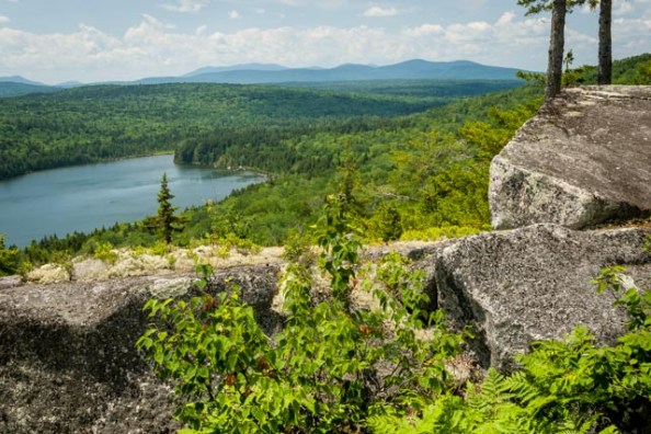
Looking southwest toward Sing-Sing Pond
Views on the Turtle Ridge Loop Trail in Maine’s Nahmakanta Public Reserved Land. The roughly 9-mile trail passes by five ponds: Sing-Sing, Hedgehog, Rabbit, Henderson, and Long Ponds.


Along the eastern side of Mount Desert Island’s rocky coast.

A rugosa rose and dew on a spider’s web along the Acadia coast.
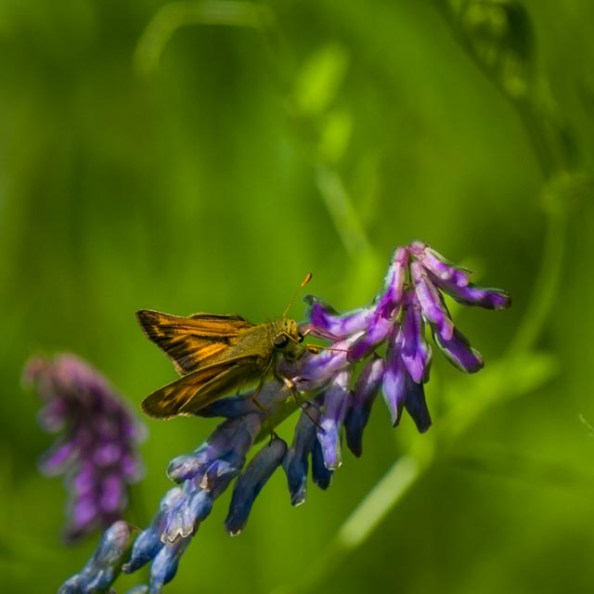
A dun skipper on cow vetch.

Doubletop Mountain as seen from the bridge over the Tracy Pond outlet. First trip to Baxter State Park this year. More to come…

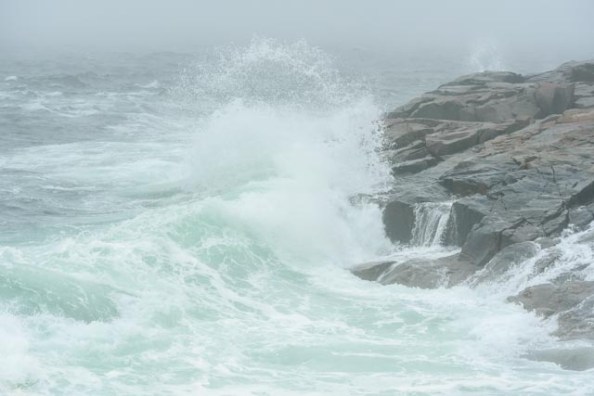
Surf at Schoodic Point, Acadia National Park.
